Welcome to P.G Diploma in Remote Sensing & GIS
Welcome to Post Graduate Diploma in Remote Sensing and GIS:
![]()
With the recent development in satellite and sensor technology, geospatial data handling, processing, and modelling techniques, information technology (IT) and allied subjects, new horizons are opened in the areas of natural resources management, sustainable exploration, environmental monitoring, natural hazard assessment, disaster management, etc. Remote Sensing technology offers efficient tools for Earth and planetary observations, feature extraction and monitoring of the surface processes in spatio temporal domain. Improved awareness on geospatial technologies coupled with in-situ observation techniques have started contributing significantly in the management, planning and decision-making processes of various development projects like Smart cities, Digital India, National Green Highway Missions etc. in addition to well-proven applications.
About the Course:
The course P.G. Diploma in Remote Sensing and GIS was started in the department of Geography in the year 2000. Postgraduate Diploma in Remote Sensing & GIS is a national interest course that impacts all the necessary natural resources around us. The aim of the course is to provide in-depth understanding of remote sensing, satellite image analysis, Geographical Information System (GIS) and Global Navigation Satellite System (GNSS) technologies and their applications in various fields such as agriculture and soils, forestry & ecology, geosciences, water resources, marine & atmospheric sciences, urban & regional studies, large-scale mapping, disaster management. etc.
Vision:
To be recognized as a frontrunner in Remote Sensing and GIS technologies through quality education and research by exploring space technologies and its applications for healthier future and socio-economic development of the country.
Mission:
To explore new avenue in the field of Remote Sensing and Geographic Information System (GIS) technologies and developing new techniques in operational utilization of RS & GIS technologies in various fields.
Course Duration:
The course is of 1 year duration.
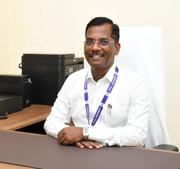
Dr. Ashis Chandra Pathy
Course Coordinator


